Practical support for the job
Site services
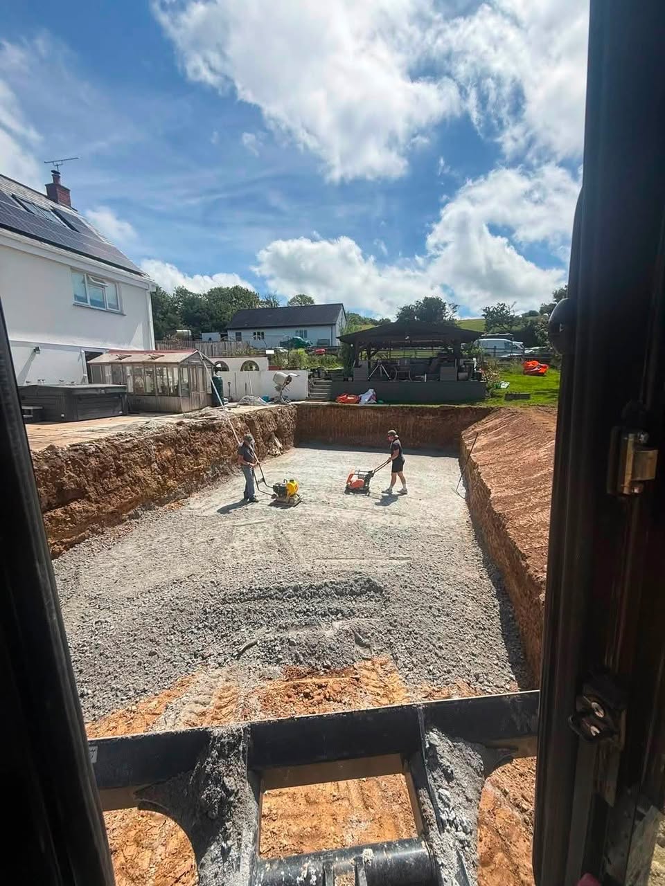
Supporting services can be arranged around the wider job, including topographical surveys, asbestos removal, demolition removal, plant hire, waste clearance and concrete placement. Availability and the exact scope are confirmed for each enquiry. Available across Cornwall.
What is included
A clear service for the requirement on site.
For contractors, trades and private projects that need coordinated help beyond a straightforward material delivery.
Coverage extends across Cornwall, with each job confirmed by postcode, access and availability.
- Topographical surveys
- Site surveying, setting out and utility surveys
- Asbestos removal through an appropriately qualified specialist route
- Demolition waste removal and clearance
- Plant hire, with drivers if required
- Crane hire enquiries
- Concrete placement
Project location and scope
Site access and working space
Survey, operator or specialist requirement
Preferred dates and programme
Specialist removal
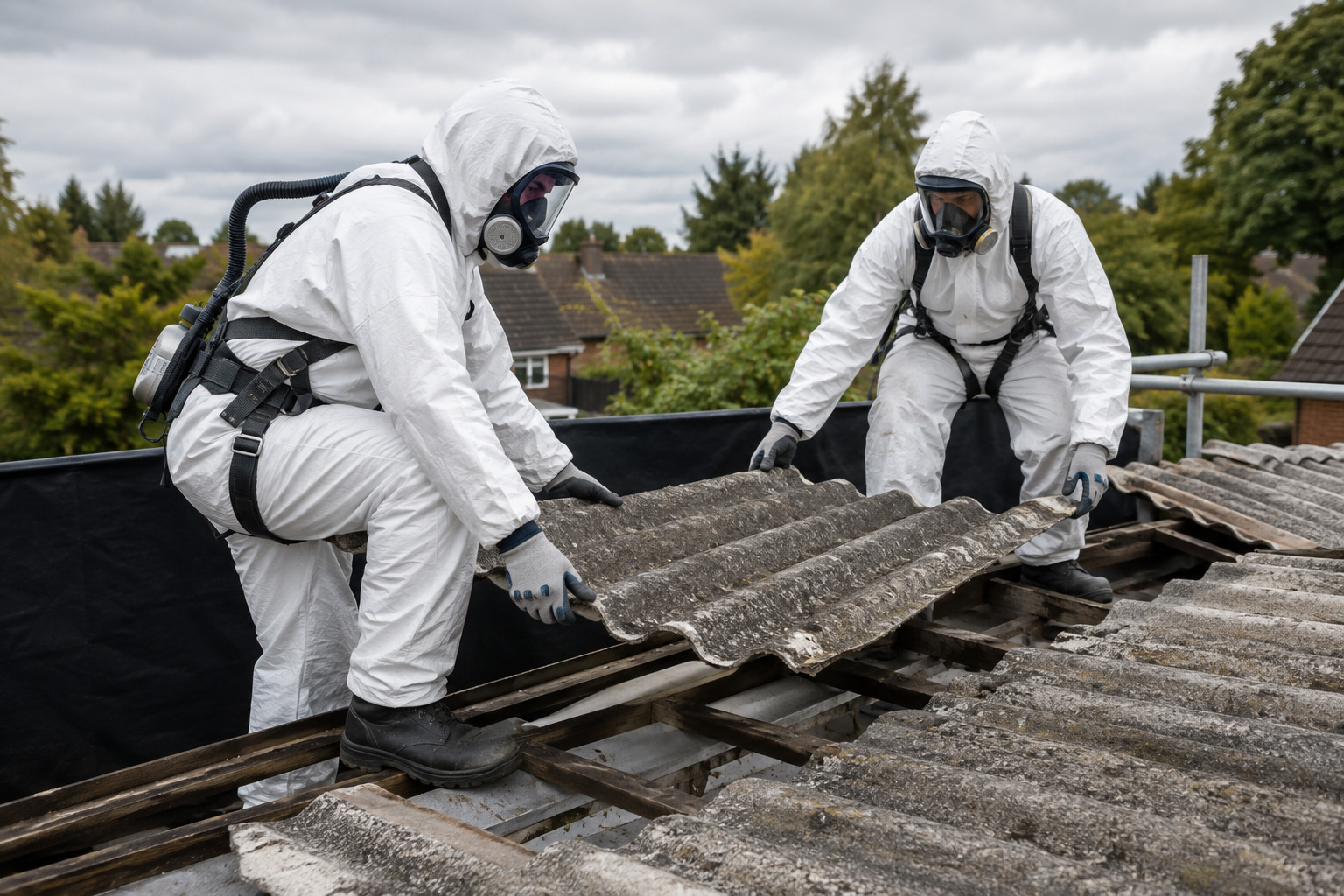
Asbestos removal
If asbestos is known or suspected, identify it before any collection or removal is arranged so the correct specialist route can be confirmed.
Higher-risk asbestos work must be completed by a licensed contractor. Any asbestos waste must be classified, contained, transported and documented through the appropriate compliant route. Haulserve will confirm availability and the qualified parties required for each enquiry.
- Specialist asbestos-removal enquiries
- Removal route matched to the material and risk
- Containment, transport and disposal requirements confirmed
- Waste documentation arranged through the appropriate parties

Site clearance
Demolition removal
Demolition waste removal can be arranged around the material, volume, loading requirements and site access. Explain what has been demolished and whether the waste is already separated when enquiring.
- Demolition rubble and construction waste
- Site clearance following strip-out or demolition
- Loading plant and tipper coordination
- Collection details confirmed before booking
Surveying
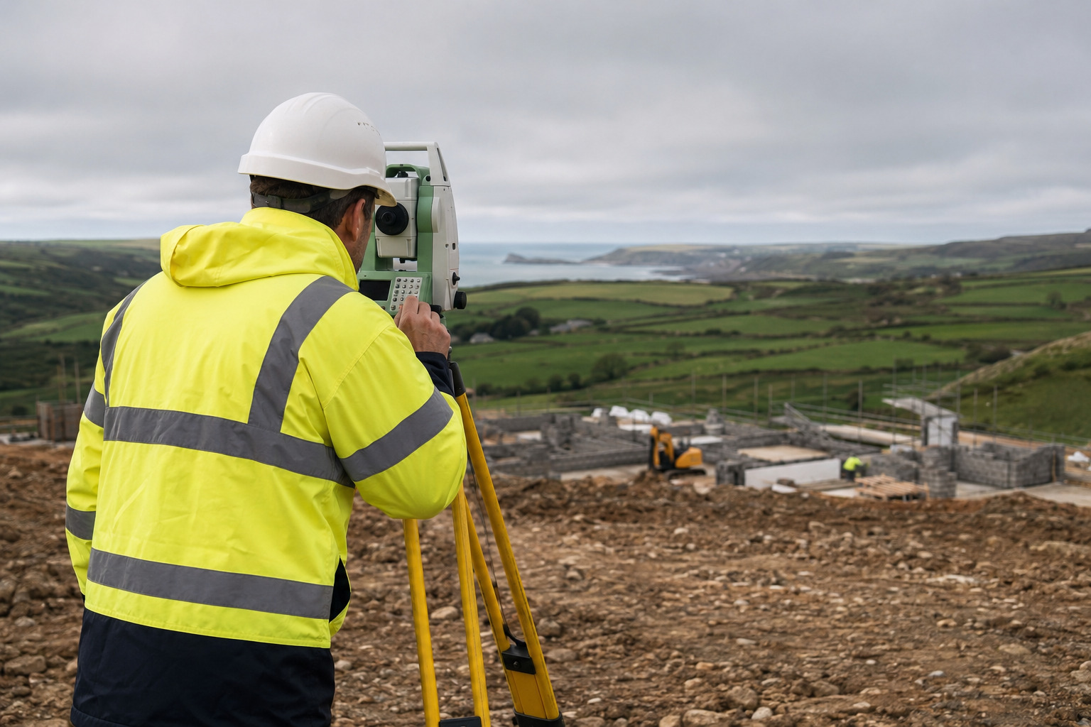
Topographical surveys
Topographical surveys record the levels, boundaries, structures and visible features of a site to provide an accurate base for architects, engineers, planning work and construction teams.
Share the site address, approximate area, required detail and preferred output format so the survey scope can be confirmed.
- Site levels and contours
- Boundaries, buildings and visible features
- Information for design, planning and setting out
- Digital survey information prepared to the agreed brief

Before ordering
Access matters.
Include the postcode, road approach, gate or entrance width, ground conditions and the intended unloading or working position.